Rated 4.9Lowest ice fare
3 hours3-Hour Tasman Glacier Helicopter Ride and Hike
★ 4.9 · 328 reviews
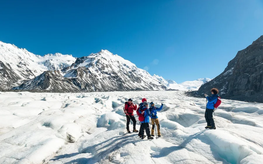
- Three hours, Land high on the Tasman Glacier
- Crampons and guiding included
- Day trip
- Free cancellation
$514$171.33 / hour
Check availability→ About the glacier
The Tasman is the largest glacier in the country, it fills a valley inside Aoraki / Mount Cook National Park, and it ends in a lake with icebergs floating in it. This page explains how that valley works — where the ice comes from, why there is a lake where the ice used to reach, and why a guided route across the surface is never quite the same twice.
Quick answer
The short version. Snow collects in the high basins under Aoraki / Mount Cook, compacts into ice, and flows slowly down the valley as one enormous, very slow river. At the bottom end it melts faster than it arrives, and the meltwater collects as Tasman Lake with blocks of ice floating in it. You can see all of that for nothing from the view track above the lake; walking on the surface is a helicopter trip, from $514.
How it works
Snow in, ice out, and a lake where the two no longer balance.
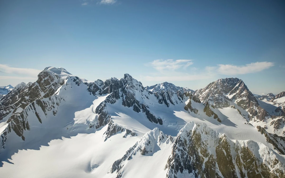
Everything about the Tasman follows from one process. High in the basins beneath Aoraki / Mount Cook and the peaks along the main divide, far more snow falls each year than melts. It piles up, buries itself, and under its own weight turns from snow into dense glacial ice. That ice has nowhere to go but downhill, so it moves — slowly, continuously, and as a single body filling the valley from wall to wall.
Down at the lower end the balance reverses: more ice melts each year than arrives. The point where those two things cancel out is the terminal, and it is not a fixed line. In a run of cold years the ice pushes further down the valley; in warmer ones the terminal sits higher up. Everything you can see from the lookout — the lake, the debris-covered surface, the moraine walls standing above it — is the record of that balance shifting over time.
The surface itself is not the clean white sheet people expect from photographs of the upper basins. Lower down, a glacier carries the rock it has quarried from the valley: dust, gravel and boulders ride along on top and get concentrated as the ice beneath them melts away. That is why the bottom of the Tasman reads grey from the lookout, and why the trips that land you on the glacier fly further up the valley, where the surface is ice rather than rubble.
That flight is also why the landing spot matters more than the map. The helicopter puts you on a part of the surface the operator has chosen that morning, high enough to be walking on ice rather than moraine, and the guide leads from there.
The lake
Tasman Lake sits at the lower end of the glacier and it is entirely made of the glacier’s own meltwater, trapped between the ice at one end and the moraine ridges the glacier built when it stood further down the valley. Those ridges are the reason the water has somewhere to sit: they act as a natural dam of loose rock, and the free view track climbs onto one of them to look down on the result.
The milky grey-blue colour is rock flour — stone ground so fine by the moving ice that it stays suspended in the water instead of sinking. It is the same material that gives Lake Pukaki, the big lake you drive past on the way in, its startling colour on a bright day, and the two are connected: Pukaki is fed by the Tasman’s meltwater river.
The icebergs are simpler than they look. Where the glacier meets the lake, the water works at the ice from below and undercuts it, and blocks break off the face and float away. They drift, roll as they melt and become unbalanced, and shrink over weeks or months. That is why the view from the lookout is different on every visit: the same lake, a completely different arrangement of ice in it.
You do not need to book anything to see this part. The track from the valley road up onto the moraine is public and free, and it is the reason the phrase “Tasman Glacier walk” means two different things — the free walk to the viewpoint, and the guided walk on the ice itself, which starts at $514.
Seeing it
From free to the full day on the ice, in the order they cost.
From the Tasman Valley road, the track climbs the moraine to a lookout over the terminal lake, with the lower glacier behind it and the peaks at the head of the valley beyond. No booking, no guide, and it is where most photographs of the lake and its icebergs come from.
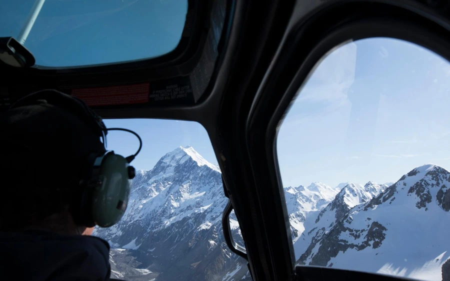
The shortest option with a landing is 25 minutes and carries 517 reviews at 4.7: up the Tasman Valley and onto a snow landing looking straight at Aoraki / Mount Cook. For the glacier itself end to end, the 40-minute flight at $363 runs the whole length of the ice.
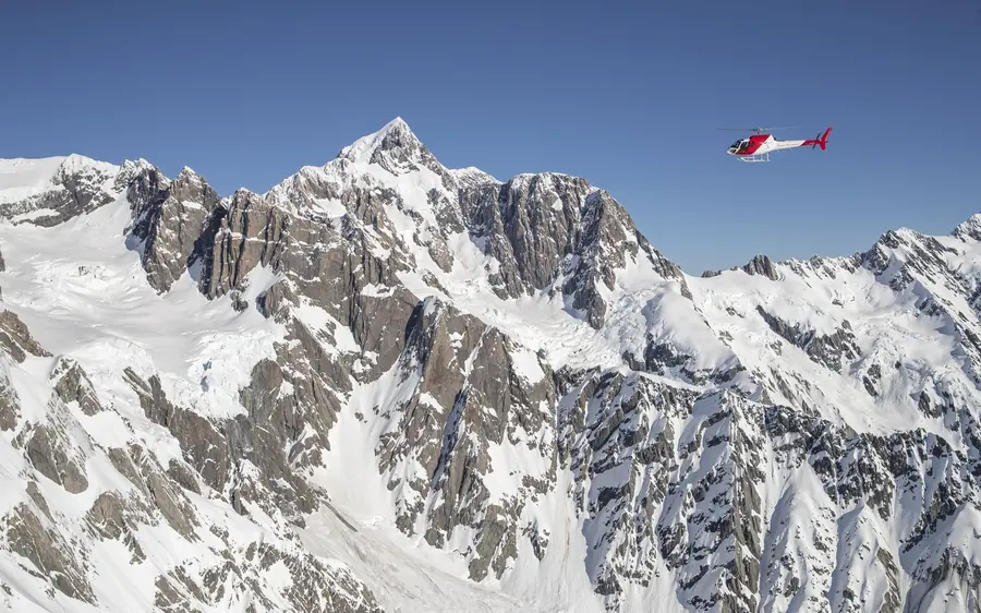
Forty minutes over the Tasman and the Hochstetter Icefall with a landing on the glacier. You step out onto the snow, take it in, and fly back — no crampons, no hiking, and a good deal less time than a heli hike asks of you. There is also a ski plane version at $314 that combines a helicopter and a ski plane landing in 45 minutes.
Three hours door to door, two of them walking on the surface with crampons and a guide. The two listings are $514 with 328 reviews at 4.9 and $540 with 260 at 4.8, and for anyone based further south there is the Queenstown round trip at $1,029.
Want the detail on the lake and what floats in it?
The lake and the icebergs→Book direct
One heli hike, two flights over the ice and the most booked flight on this site.
★ 4.9 · 328 reviews
★ 4.7 · 22 reviews
★ 4.7 · 11 reviews
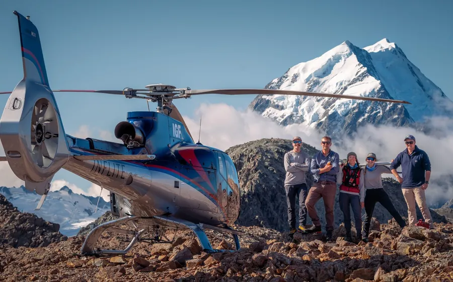
★ 4.7 · 517 reviews
On the ice
A glacier is moving the whole time, and the surface responds to that movement. Where the ice runs over a steeper step in the bedrock it stretches and cracks open into crevasses; where it compresses again, those cracks close. Meltwater cuts channels into the surface in warm weather and refreezes in cold. None of it is dramatic on the timescale of your visit, but across a season the detail of the surface is rearranged.
That is why guided time on the ice is sold the way it is. The operator picks a landing site on the day, and the guide leads a route from there, reading the surface as it is that morning rather than following a marked trail. Crampons and guiding are part of every listing that puts you on the glacier, and the small-group format on the heli hikes exists for the same reason.
It also explains the honest answer to a question people ask before booking: no two trips see quite the same thing. Features people describe from the Tasman — the icefall above, the shapes meltwater carves, the deep blue in the cracks where the ice is dense and old — are all still there, but where they sit and which ones your guide can safely walk you to changes. The listings promise the glacier and a guided walk on it, not a fixed set of sights, and that is the right way to read them.
The Hochstetter Icefall, named on the Tasman Glacier flight listing, is the clearest example of the process at work: a steep section where ice arriving from above breaks into a jumble of blocks and towers as it descends. It is the part of the valley that looks most like a river in mid-rapid, frozen in place, and it is spectacular from the air on the 40-minute flight at $375.
Common questions
The operators describe it as New Zealand’s largest glacier, filling a long valley in Aoraki / Mount Cook National Park. The 40-minute scenic flight at $363 is sold on flying along its whole length, which gives a sense of the scale.
It is the glacier’s own meltwater, held between the ice and the moraine ridges the glacier built when it reached further down the valley. The free view track climbs one of those ridges and looks down on the lake.
Where the ice meets the water it is undercut from below, and blocks break off the face and float. They drift and melt over the following weeks, so the arrangement of ice in the lake is different on every visit.
It is carrying rock. A glacier quarries stone from the valley and that debris concentrates on the surface as the ice around it melts. Trips that land you on the glacier fly further up the valley, where the surface is clean ice.
With a guide and a helicopter transfer, yes: two hours on the surface with crampons, from $514. From the valley floor the free view track ends at a lookout above the terminal lake.
A steep section of the glacier where the ice breaks into blocks and towers as it descends, named on the $375 flight listing and one of the best things to see from the air in the valley.
Yes, because it shows you something the flight does not: the terminal, the lake and the icebergs at eye level, from the moraine. It costs nothing, and it is the obvious thing to do with an afternoon in the village while you wait on the weather.
Go deeper
Every way onto the ice and up the valley, in one list.
The free view trackThe free walk above Tasman Lake, and what it shows you.
Can you walk on itThe straight answer, and what the valley gives you for nothing.
The heli hikeTwo hours on the ice: what the trip includes and what it costs.
How long it takesTimes for the view track, the flights and the hikes.
Which glacier to walkTwo sides of the Southern Alps, and which suits your route.
3 Hour Heli Hike to the Tasman Glacier
★ 4.8 · 260 reviews · Free cancellation 24 h